Open Call for Public Candidates to Serve on the International Joint Commission’s Expert Advisory Boards Working on Great Lakes Water Quality
The IJC is accepting self-nominations to fill public positions for three boards: the Great Lakes Water Quality Board, the Great Lakes Science Advisory Board, and the Health Professionals Advisory Board.
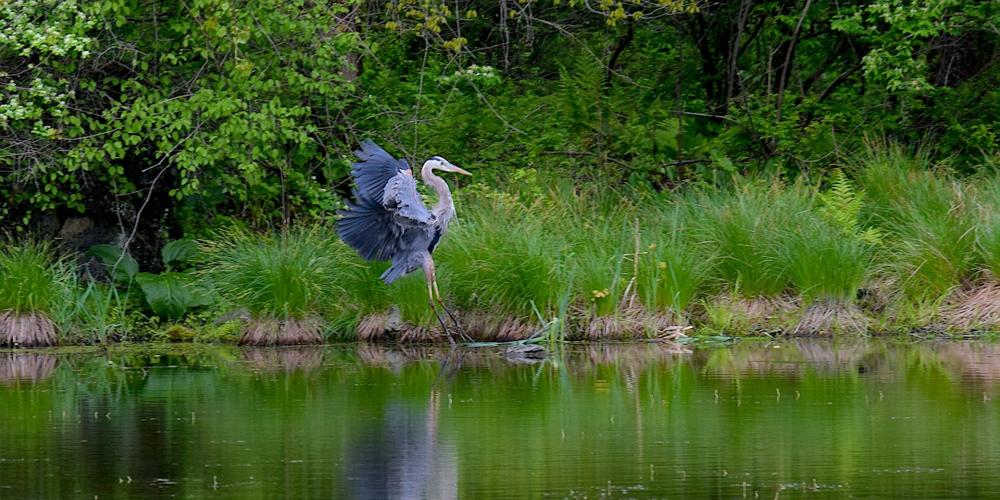
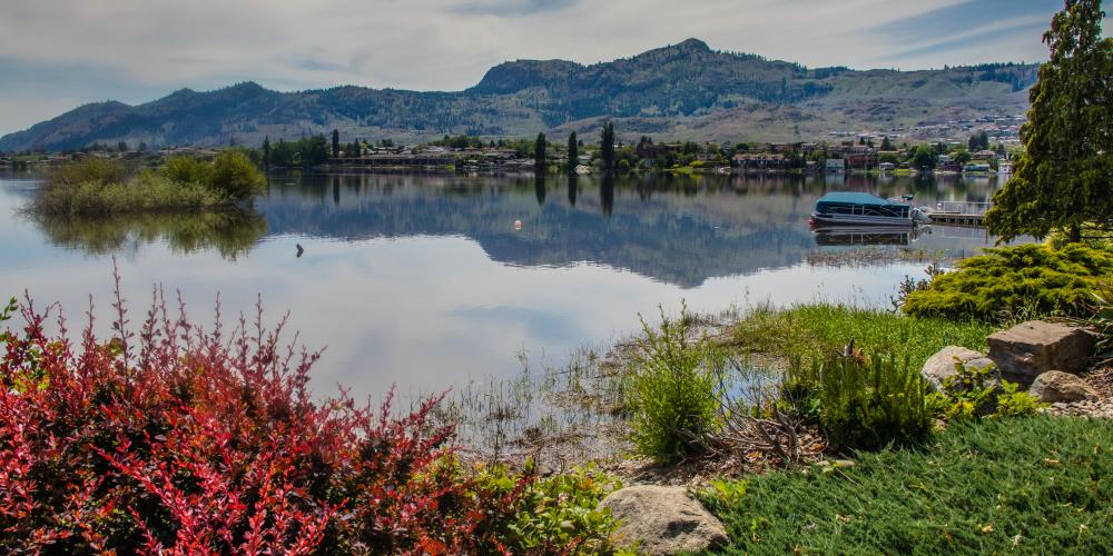
Read IJC’s newsletter to stay current on how Canada and the United States are working together to manage the health and flow of the waters shared by our two countries. Don’t just go with the flow, get with the flow!