Data and definitions are different along the landscape between the U.S. and Canada.
Not only do people in the two countries use different measurements --- like feet instead of meters --- terms like watershed and subbasin can mean different things to agency officials in the two countries.
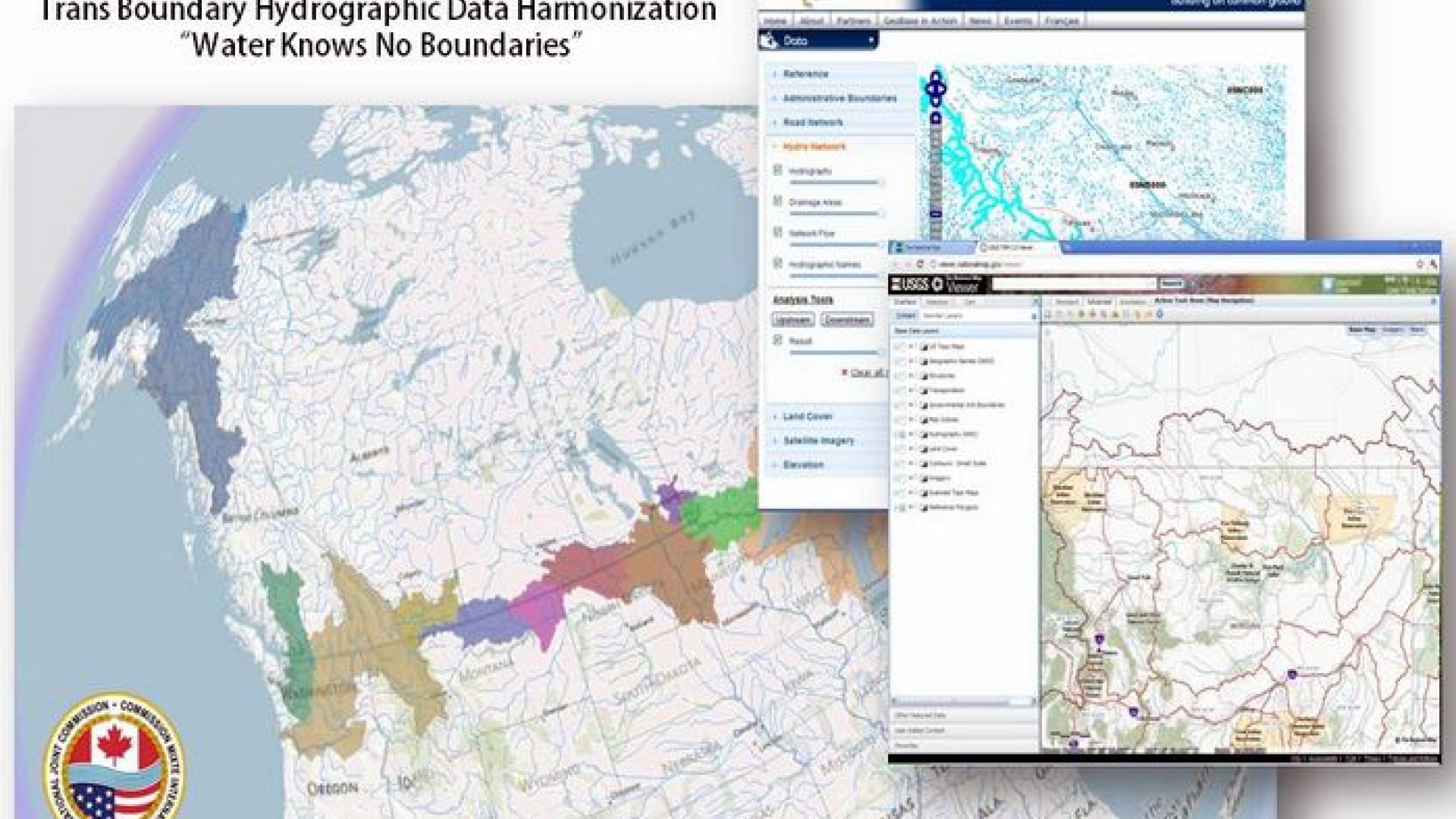
In the last several years, however, hydrographic data has been standardized for the Great Lakes, St. Lawrence Seaway and thousands of rivers and streams along the 5,000-mile (8,000-kilometer) border between the two countries. In other words, stewards are beginning to use the same playbook when it comes to gathering and analyzing data to help prevent and resolve transboundary water issues.
This is about harmony. Having to convert data between federal, provincial, state, and local agencies can be time-consuming, expensive, and just isn’t ideal. A Transboundary Data Harmonization Task Force was created by the IJC in 2008 to make sense of it all.
They’ve succeeded in developing a standardized suite of hydrographic interpretations that are now being used by agencies in the U.S. and Canada. The Task Force has brought together Geographic Information Systems (GIS) professionals on both sides of the border that otherwise wouldn’t be talking.
For their efforts, the Task Force members have garnered three awards (as of this writing): from Esri International, Esri Canada and the Geospatial World Forum. The efforts have been lauded for improving communication between agencies, making the task of studying and interpreting data more effective, and helping identify and fill in data gaps.

For example, the international Souris River Basin has been harmonized for about two years
The Souris begins in Saskatchewan, flows south into North Dakota, and then north again into Manitoba, ultimately draining into the Assiniboine River.
With data harmonization, hydrologists are able to more accurately predict the height of water that will reach a given area, so people can prepare, build dikes and protect their property during flood events, like those that hit North Dakota in the summer of 2011.
The harmonization work is being done in phases, with feedback from various boards that deal with water issues along the border. The plan is to make the effort sustainable. The Task Force is designed to be an ongoing advisory committee for IJC.
The ultimate goal is to develop a stewardship framework for the IJC, to more effectively update datasets curated by different agencies along the boundary.
The transboundary water data can be accessed via GeoBase and the U.S. National Map.

Subscribe to our Newsletter!